Satellite data explain processes in plants

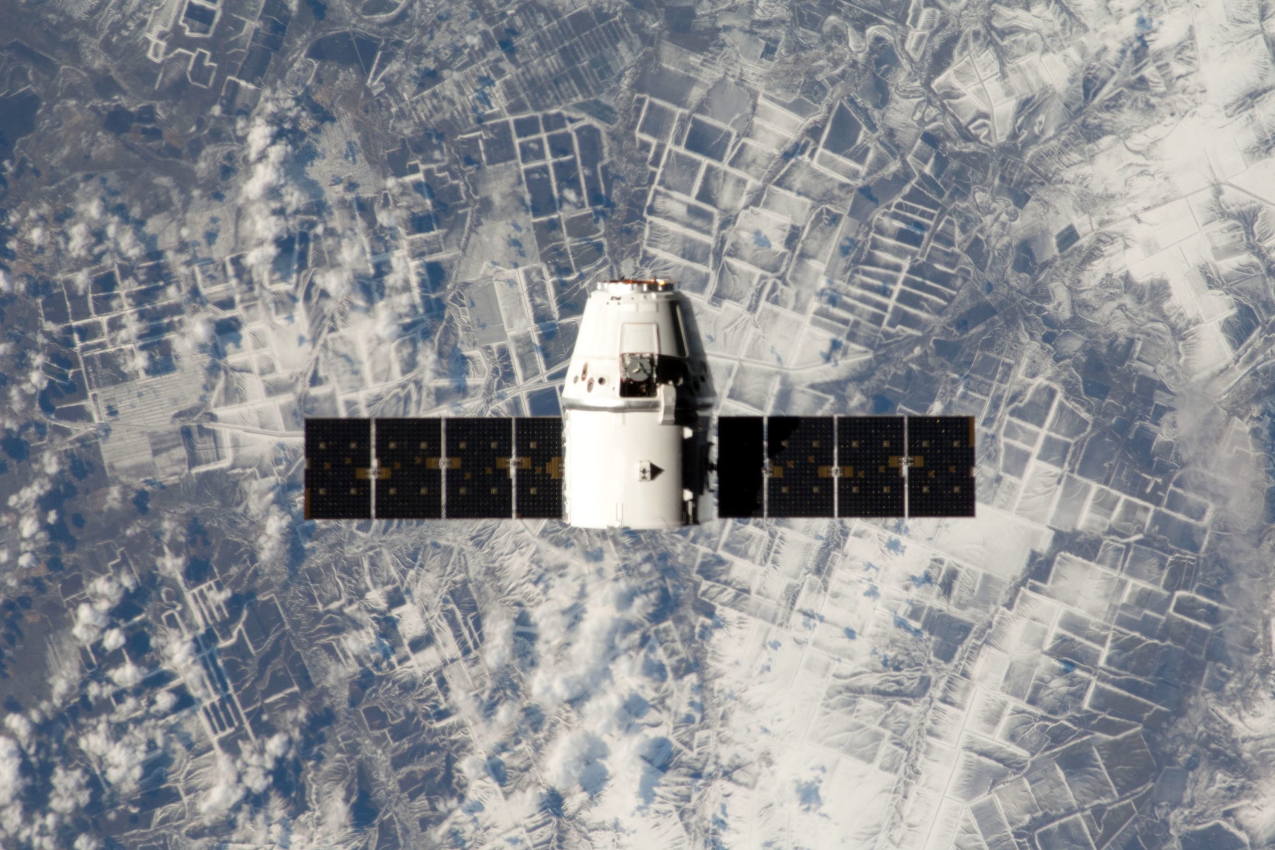
Satellite data is being harnessed by researchers at the University of Illinois for a more complete picture of cropland and to estimate crop yield in the US corn belt.
ACES (College of Agricultural, Consumer and Environmental Sciences) reports that the University is using satellite data to gain rich information for improving crop yield. “In places where we may see just the colour green in crops, electromagnetic imaging from satellites reveals much more information about what’s actually happening in the leaves of plants and even inside the canopy. How to leverage this information is the challenge,” says Kaiyu Guan, an environmental scientist at the University of Illinois and the lead author on the research.
Future Farming is the new brand and sister publication of All About Feed. Sign up here to not miss a thing on precision agriculture, drones and more!
Environmental stresses revealed by satellites
Mr Guan says this work is the first time that so many spectral bands, including visible, infrared, thermal, and passive and active microwave, and canopy fluorescence measurements have been brought together to look at crops. The study uncovers that the many satellite data sets share common information related to crop biomass grown aboveground. However, the researchers also discover that different satellite data can reveal environmental stresses that crops experience related to drought and heat.
The study, “The shared and unique values of optical, fluorescence, thermal and microwave satellite data for estimating large-scale crop yields,” is published in Remote Sensing of Environment.
Source: ACES


